
↓ The Monsal Trail — Illustrated Map
19 August 2026
↓ Details
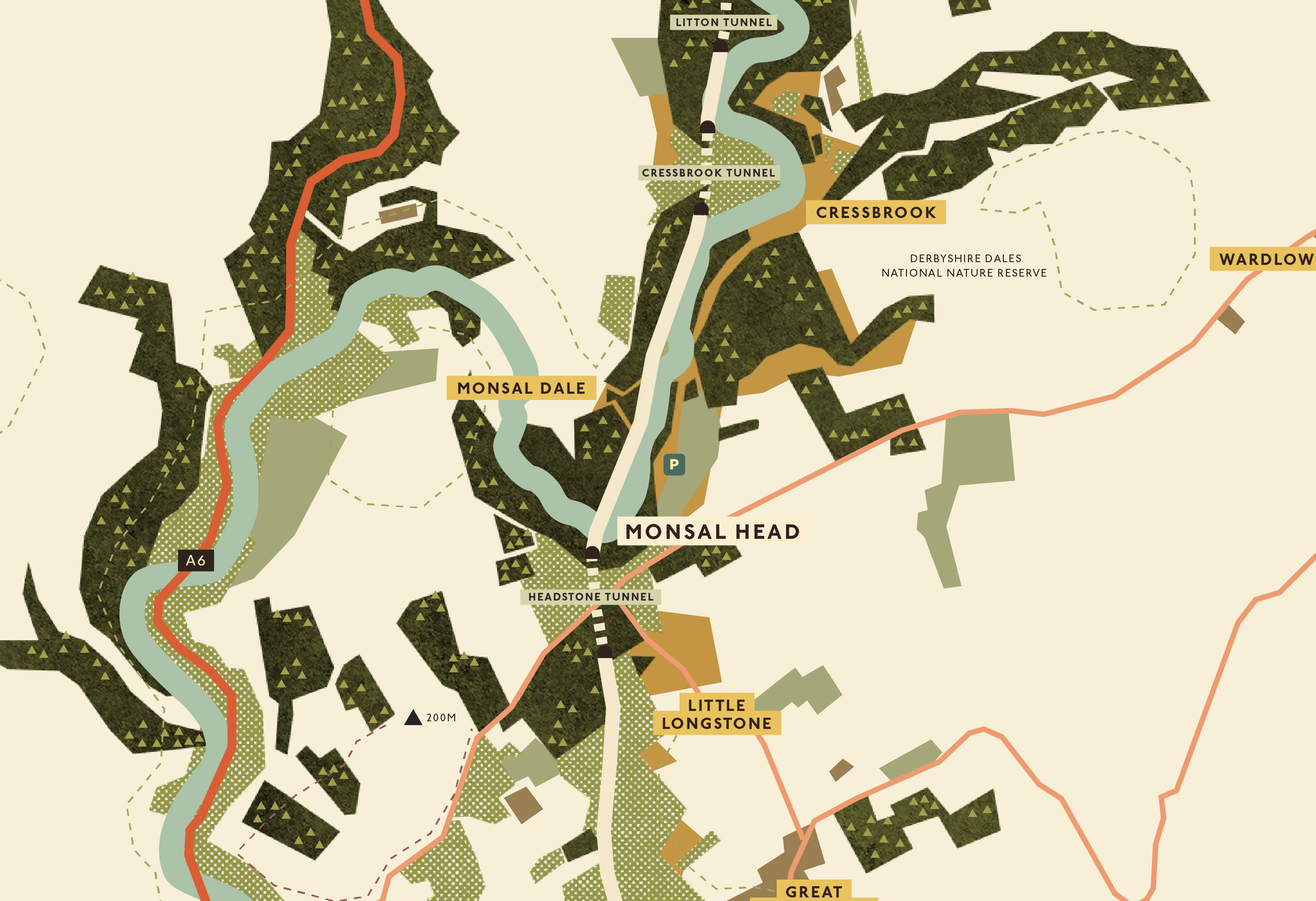
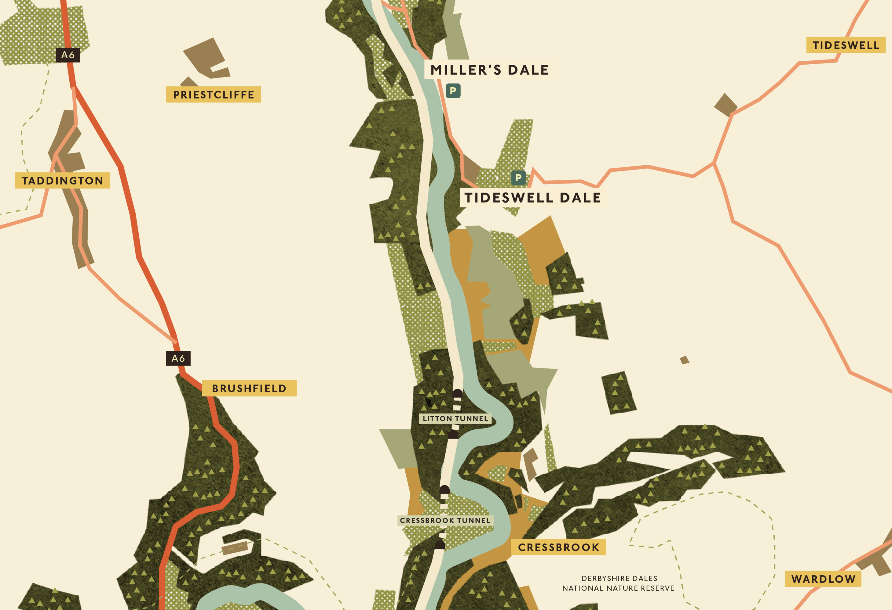
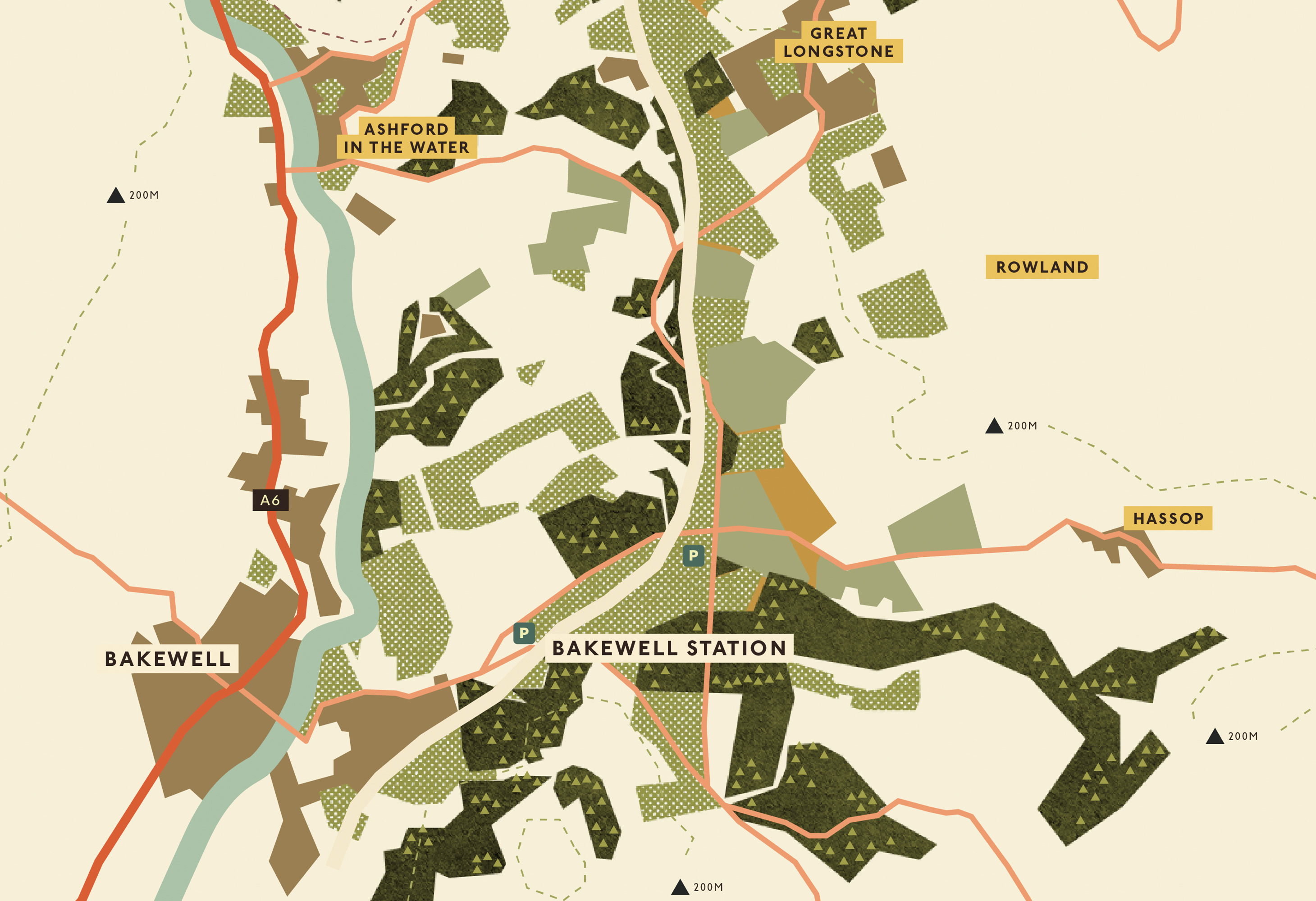
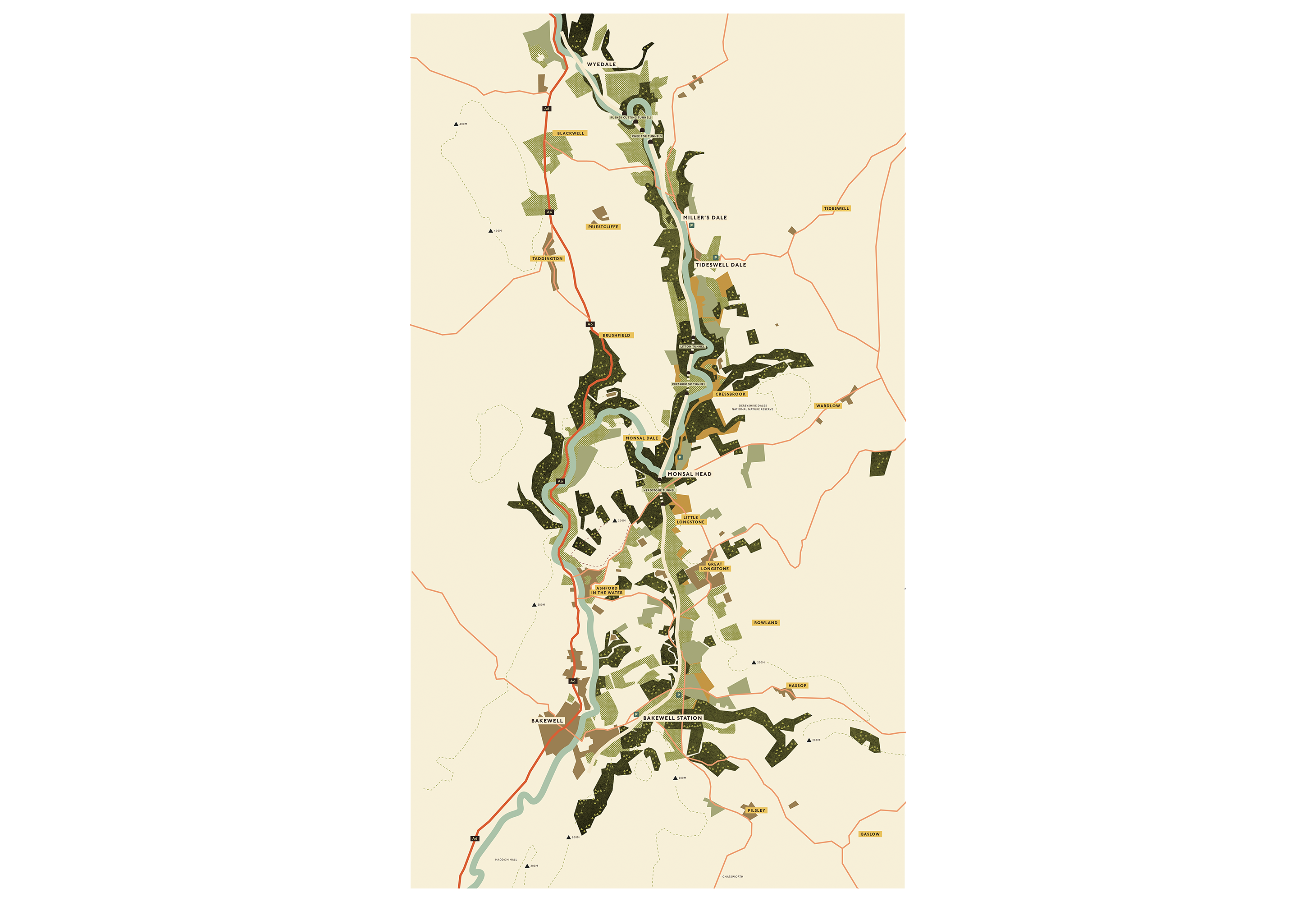
An illustrated map of the Monsal Trail, the old railway line that winds through the Wye valley in the Derbyshire Peak District. It follows the route from Bakewell up through Monsal Head, Cressbrook and Miller's Dale, marking the tunnels, viaducts and car parks along the way and the villages scattered either side — Ashford in the Water, the Longstones, Taddington, Tideswell and the rest.
Drawn in a textured, screenprint-style palette of dales greens, ochre fields and a pale ribbon of river, with the woodland stippled by hand and contour lines dashed in behind. Made to be genuinely useful and worth hanging on a wall in equal measure.
Any questions?
We’re just a click away.
If you would like to be added to the mailing list, enter your name and email below:
We are committed to protecting your privacy. We will only ever use this information lawfully (in accordance with UK data protection law, including the UK GDPR and the Data Protection Act 2018).